
Who Was Daniel and Why Did He Have a Hole? Hamptons Street Names Explained
 By Laura Euler
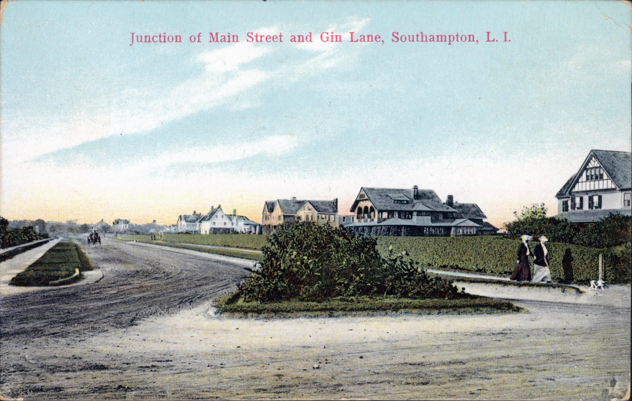
Does Gin Lane have to do with Prohibition? Who was Stephen Hand and why does he have a Path? Let’s find out!
Gin Lane, Southampton
“Gin” is an old English term for a “common grazing area.” Cattle were ginned here. This is also whence Gin Beach in Montauk got its name.
Scuttle Hole Road, Bridgehampton
The story is that a peddler broke down or upset his cart by getting into a slough or hole. Asked how he got out, he replied “Oh, I had to scuttle to do it.” This is from Memorials of Old Bridgehampton, published 1916, which included this cheerful verse as well:
THE CURSE OF SCUTTLE HOLE
Beware all strangers where you roam
Or leave the tranquil bliss of home;
Neer at the peril of your soul,
Plant foot in cursed Scuttle Hole.
May Scuttle Hole not a blessing know,
While water runs or grass shall grow ;
But evils fall as fast as they can
On ground accursed by God and man.
The Judgment Day is rolling round,
And Scuttle Hole shall hear the sound
Of demons, who shall ring the knell,
And Scuttle Hole go down to H–.
Poxabogue Lane, Sagaponack
Derived from the Algonquian word Paugasa-baug, meaning “a pond that widens.”
Stephen Hand’s Path, East Hampton
Stephen Hand was one of the original settlers of East Hampton. He was born in 1635, England, died 1693, East Hampton. On November 3, 1668, Hande granted the Town of East Hampton leave to put a highway through his woodland, 12 feet wide, “only to drive carts and oxen in yoake & to ride & lead a horse through; not to drive cattle through out of yoake”.
Daniel’s Hole Road, East Hampton
A “hole” was a cranberry bog was called. According to Henry Parsons Hedges, who wrote the history of East Hampton in 1898, Daniel is most likely Daniel Osborn whose land it was.
Pudding Hill Lane, East Hampton
Supposedly in 1776 a local housewife made a steamed pudding which smelled so good the Redcoats wanted some. A loyal patriot, the lady spilled the dessert rather than give the soldiers any.
Egypt Lane, East Hampton
A resident said that the street was “as dark as Egypt” because of the overhanging trees.
Soak Hides Road, East Hampton
Near Tanbark Creek, where hides were soaked before tanning. “Tanbark” is the bark of certain trees used for tanning hides into leather. The words “tannin,” “tanning,” “tan,” and “tawny” are derived from the Medieval Latin tannare, “to convert into leather.”
Sammys Beach Road, East Hampton
Named after Samuel Parsons, who owned the land in 1731.
Louse Point Road, Springs
Supposedly “so barren it wouldn’t support even a louse.”
Promised Land Road, Napeague
This was the site of the Smith Meal Fish Factory which processed bunker into fish meal. The area used to smell so bad, it was said to “stink to high heaven.”
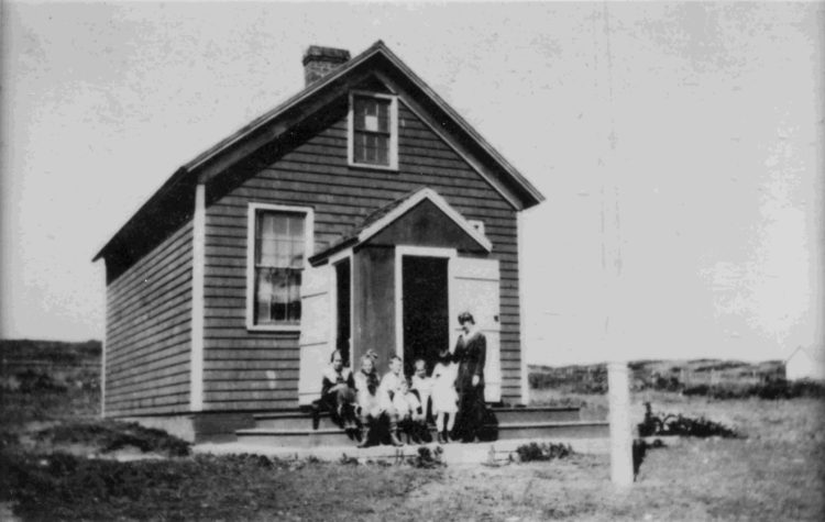
School Lane, Montauk
The old house adjoining the lane was Montauk’s first one-room schoolhouse, built in 1899 as part of the Amagansett school district.
Vetted Hamptons Resources